Well, we had a "kick ass" ( Captains words) sail from Georgetown down to Long Island. We left with several other boats and left them all in our dust ( wake!) This is a new phenomenon for us this year and we put it down to having a clean, barnacle free bottom ( on Zooropa that is!) and a much improved main sail. We were on a beautiful beam reach with around 18 to 20 knots of wind. At one point our boat speed was up to 10 knots, yee-ha!!!
 |
| Happy Captain |
We anchored in the large Thompson Bay, Salt Pond area. This is a popular area for cruisers. They have a radio net going each morning over the VHF radio and organized events, including a well attended drinks get together on the beach that evening. There is a very well stocked grocery store and a short walk over the Island brings you to another spectacular Eastern shore beach.
 |
| We can't get enough of these beaches |
 |
| Look at those colours! |
One day we rented a car and drove South and then North on the Queens Highway, the only main road on Long Island. There really isn't a lot to see, just scattered houses and lots of churches.
 |
| A lovely final resting spot overlooking Thompson Bay |
 |
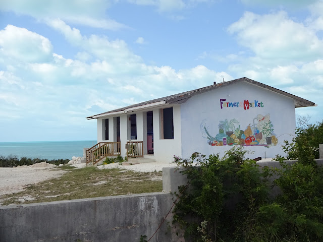
| Farmers Market building Thompson Bay |
 |
| I'm not sure if this was Hurricane damage. You do see a lot of abandoned houses in the Bahamas. |
 |
| Some damage to the roof from Hurricane Joaquin |
 |
| St. Peter and St. Paul's Catholic Church, Clarence Town |

 |
| Looking down on Dean's Blue Hole. At 663 feet deep it is the world's deepest known salt water blue hole. |
 |
| Dean's Blue Hole from the beach. The platform is for the free divers to descend from |
 |
| A beautiful sunset over Thompson Bay, Long Island. |
After a week in Thompson Bay it was time to move on. We sailed north up the Western coast of Long Island with the intention of stopping at Calabash Bay on the northern tip. When we got there a large northern swell was crashing into the anchorage which would have made for a really rolly night so we decided to continue on overnight to our next destination. This time we had our asses kicked!!
We had hoped that once around the tip of Long Island the swell would improve. It did not and with winds in the mid 20 knot range the seas were sloppy and confused, somewhat like being in a washing machine. It did not make for a fun night, particularly with the addition of several squalls thrown at us.
Our destination was a large anchorage off of Long Cay and unfortunately it was pretty rolly too. We rolled there for three nights. Oh for a calm, still anchorage!
 |
| A wonderful long beach to walk, especially at low tide. Good shelling here. |
We visited the settlement of Albert Town, Long Cay, which was badly hit by Hurricane Joachin. One of the local men, Trevor, took the time to show us around and introduce us to the other locals. There is very little there, no grocery stores, shops or other conveniences but the view out over the reef with the turquoise waters is a million dollar view.
 |
| The road from the dingy dock into Albert Town, Long Cay |
 |
| The view out here was spectacular. Tree damage from Hurricane Joachin |
 |
| Hurricane devastation |
 |
| Hurricane devastation |
 |
| The settlement of Albert Town |
 |
| St. David & St. Augustine Church. Built in 1795. |
This church was in ruins but the locals were able to use this side of the building as a place of worship before the Hurricane.
Here in Albert Town and else where in the Bahamas the people have been warm and friendly. At no time have we felt unsafe, nor have we felt the need to lock up our dingy or belongings; the exception apparently being Nassau where crime is rampant. This unfortunately will change as we reach the Carribean.
 |
| Abrahams Bay Settlement. |
Abrahams Bay on Mayaguana is our last stop here in the Bahamas. We plan on leaving here tomorrow morning, around 2am ( hate leaving somewhere in the middle of the night) and make the short passage of approx. 60NM. to the Turk's and Caicos.


